IA Quoi
A downloadable game
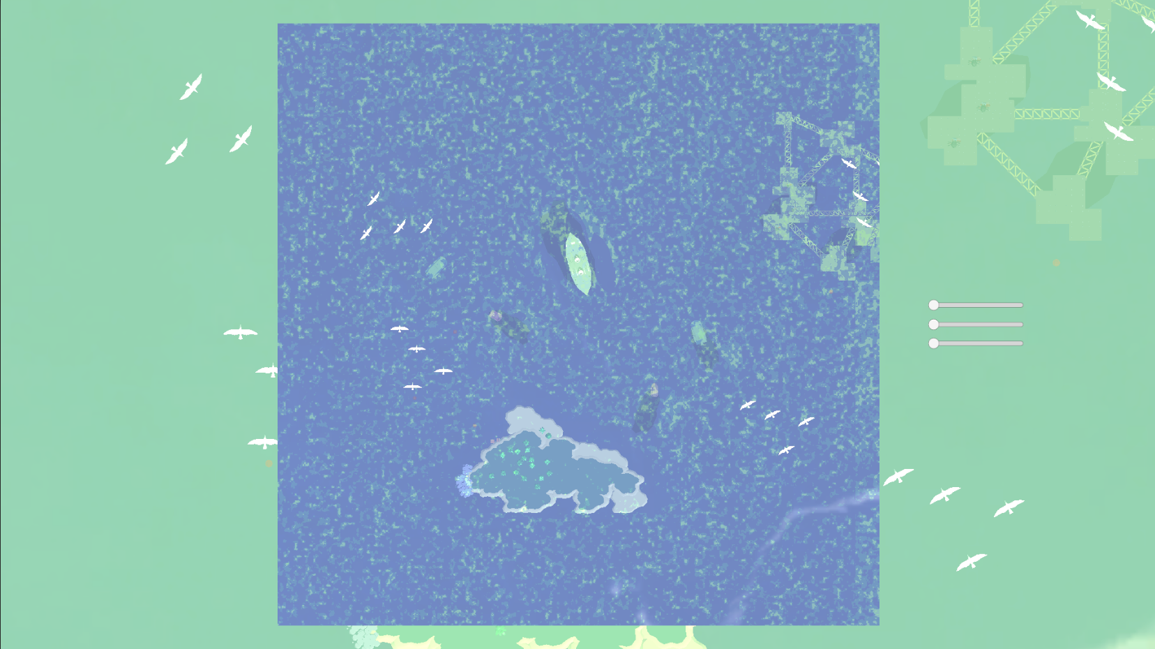
Earth observation is enriched by the use of satellite imagery: from cities to the countryside, from oceans to rivers, we measure the evolution of ecosystems and populations from space.
For this, we use the power of Artificial Intelligence, which learns to identify specific objects after a learning phase, also called "training". With the right learning images, the resulting model is able to find these objects.
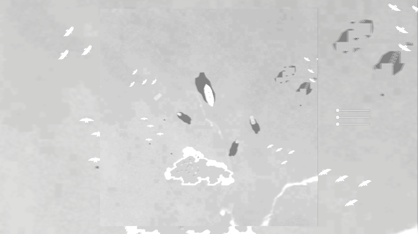
However, the different satellites produce visually very different images because they are equipped with sensors with varied characteristics: a radar that reconstructs the volume of objects on the surface of the Earth is represented by "false colors", an optical sensor that measures wavelengths that “see” well beyond the visible... In addition, all these satellites are characterized by a spatial resolution: the distance to the ground measured in each of the pixels of the image produced. An image with the same number of pixels can be in a 1km or 10km area, depending on its resolution.
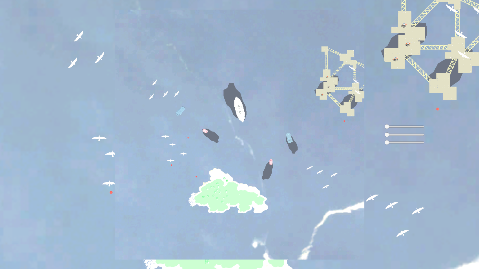
One solution is to vary the sources of satellite images provided to the AI during its training: with each different satellite, the AI learns additional knowledge, which allow him to expand his capabilities and find the learned objects in a wider panel of satellite images.
the sound might be a little low so if you don't hear it, increase your speaker's volume.
Download
Leave a comment
Log in with itch.io to leave a comment.